
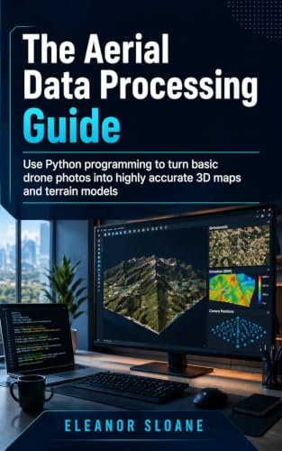
The Aerial Data Processing Guide: Use Python programming to turn basic drone photos into highly accurate 3D maps and terrain models
Product Description
The Aerial Data Processing Guide: Use Python programming to turn basic drone photos into highly accurate 3D maps and terrain models
Technical Specifications
You might also like

7 Inch Black House Number 7 for Outside – Modern Floating Address Numbers, Weather-Resistant Metal, Easy to Install, Large Size, Stylish 3D Effect for Home, Office, and Street

7 Inch Black House Numbers for Outside,Metal House Numbers Address Numbers for House Floating Flush Mount Aluminum

5 Inch Acrylic Modern House Number 7 Black Frosted Matte Numbers Acrylic House Numbers Outside Easy Flush or Floating Mount for Exterior Address Street Numbers Garden Door Address Numbers(Number 7)

7 Inch Black House Numbers, Floating Flush Mount Aluminum Address Numbers, Modern Metal Numbers for Houses – Large, Weatherproof, Easy to Install Number 8

8’’ Modern Floating House Numbers for Outside, Large Black Shadow Home Number with Nails Kit & Template, Easy to Be Mounted for Exterior House Address, Garage Gate, Street, Farmhouse, Number 7

7 Inch Metal House Numbers, Stainless Steel for Outside, Mailbox Numbers

Computer Aided Systems Theory – EUROCAST 2017: 16th International Conference, Las Palmas de Gran Canaria, Spain, February 19-24, 2017, Revised ... I (Lecture Notes in Computer Science, 10671)

7 Inch House Numbers and Metal Letters for Outdoor Signs, House Numbers for Outside, Aluminum Address Letters and Numbers for Door, Mailbox, Garden, Perfect for Home or Office (Number 1)